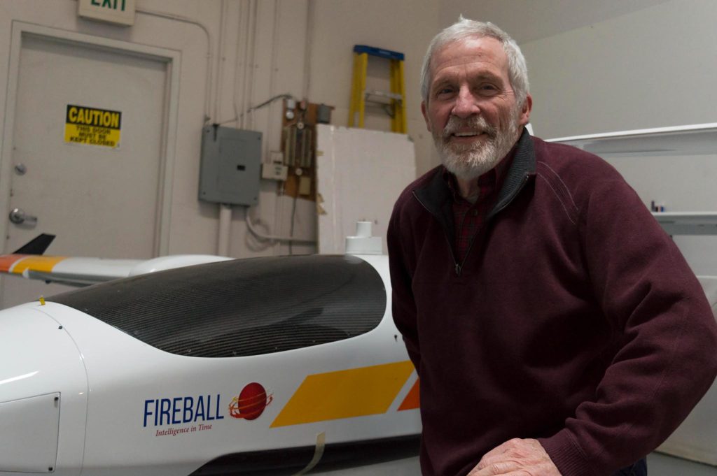
Co-Principal Investigator

J. Timothy Ball, Ph. D. President and Co-Founder, Fireball Information Technologies, LLC. and Fireball International Services, Corp.
Tim earned Bachelor’s and Master’s degrees in Biology from the University of California, Santa Barbara where he focused on Fire Ecology. He was also the Student Captain and Training Officer in the UCSB Fire Department.
Dr. Ball earned a Ph.D. in Bio-Sciences from Stanford in 1988. His doctoral thesis resulted in a simple and useful mathematical description of stomatal conductance (the Ball-Berry Model). This model continues to be a vital component of virtually all models that link weather and climate to biogeochemical processes. This includes the General Circulation Models of the Atmosphere that are the basis of weather forecasts. Dr. Ball was a professor in the Biological Science Center at the Desert Research Institute and also in the Biochemistry Department at the University of Nevada, Reno from 1988 to 2000. While at DRI Ball was responsible for the design and construction of the Great Basin Environmental Research Laboratory which continues to be recognized as the most capable controlled environment for measuring and manipulating gaseous flexes to and from the biosphere. Ball was also the Principle Investigator of a $6 Million research project entitled “The Effects of CO2 on Forests” funded by the Electric Power Research Institute and the US DOE. Dr. Ball is an author on more than 60 scientific publications. As of this writing his works have been cited in the literature more than 6000 times.
Dr. Ball left DRI in 2000 to found Fireball Information Technologies, LLC and Fireball International Services, Corp. sister companies that respectively develop and deploy mapping systems for emergency management and highly productive ortho, topo, and 3-D mapping techniques. Fire behavior and Fire Intelligence have been the main focus of the Fireball companies, but the companies have been involved in and made significant contributions to mapping the melting of the polar ice caps, development of system to census huge aggregations of wildfire, mapping the micro-topography of Mars, as well as Intelligence, Surveillance, and Reconnaissance for law enforcement, counter-drug, and defense.

Fireball developed and operates the machine-learning system that achieves early detection of fires across the Western US using the 1200+ cameras of the Alert West system and the available satellites. This system processes over 4.5 million images per day with error rates of lower than 1 in 4×10⁶. These early fire detections are disseminated to fire and land management agencies and public utilities across the West via a Web and Push-notification system known as Fuego Map. Fuego Map aggregates many types of fire data into a cohesive fire intelligence portal
Tim is a Co-Principal Investigator of the effort to develop and fund the Fire Urgency Estimator from Ground to Orbit (FUEGO) Satellite which is optimized for early detection and continued tracking/characterization of wildland fires over large areas of the earth’s land surface.