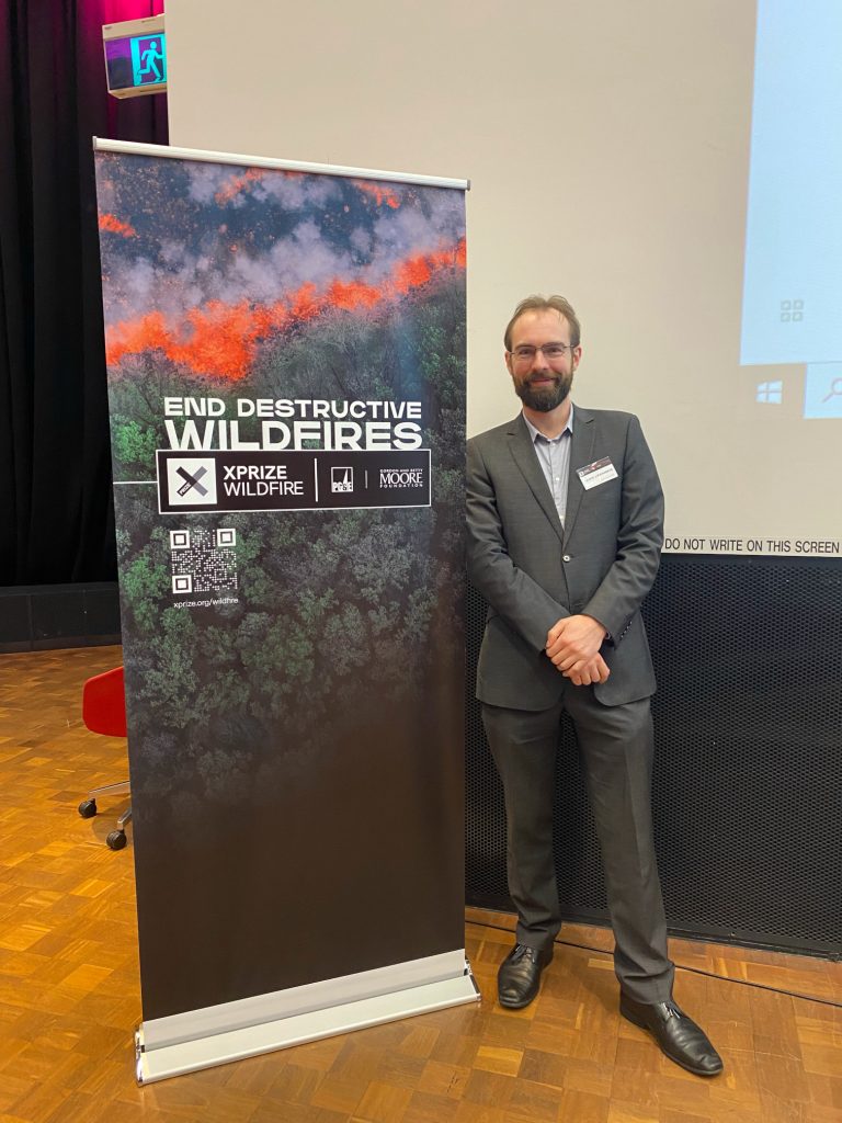
Team FUEGO was present at the XPRIZE summit held at Swinburne University in Melbourne Australia with Janis Lesinskis attending in person, Tim Ball and Brian Craddock attending remotely. The XPRIZE Team Summit was an event for the teams competing in Track A of the Wildfire competition that XPRIZE is running. This event was held at Swinburne University, Melbourne, Australia, 29-31 August 2024.
This summit was a great chance for various teams working on remote sensing and fire technology to come together with first responders and political leaders to talk about the big challenges with fire in 2024. Teams from all around the world were in attendance. By getting the best talent in fire technology together with emergency services and relevant political figures in the same room at the same time there was a fantastic chance to learn about developments in the field and what challenges are most relevant in fire. This was a great opportunity to see how firefighting technology and policy can be improved in the future. There are a variety of different challenges from different stakeholders that the FUEGO platform will be able to help with in the future from greatly improved data flowing through to first responders to vast data sets that will enable new developments in fire science and forest management.

Part of the summit was about the upcoming XPRIZE competition that was based around detection and tracking of fires from space based assets. Team FUEGO was able to provide guidance to the XPRIZE team about what could help this competition be as useful as possible in providing practical data for fire response and fire science. As hinted at in the name the FUEGO system is a data fusion system that brings together data from multiple altitudes and combines this into actionable fire insights. The competition rules would exclude those altitudes from being used hence removing a large part of what makes the FUEGO platform so effective. Internally we knew that the competition wasn’t really aimed at what our platforms main strengths were so we knew it was unlikely we could compete in that competition so we spent much of the summit helping the XPRIZE team with the knowledge we have about remote sensing as applied to fire.
By the end of the summit it was clear that FEUGO GEO provides an especially important data source that is currently not available. The combination of very large swath with frequent update times fills an important gap in data that low earth orbit clusters are not able to collect. FUEGO GEO has the ability to provide minute by minute updates which is not something that is possible from low earth orbit as the revisit times are a limiting factor on how often updates can be made in those orbits. Put simply, low earth orbits have to travel very fast and as a result they don’t spend much time over any given geographical location.
This is not to discount the value and utility of low earth orbit satellites for fire science. There were many teams at the summit using low earth satellites to collect various data that will be extremely useful in assessing fire danger and provide inputs to fire predictive models. The ability to cover a huge geographical area with one asset is an area where LEO satellites can perform well if the data is not too time sensitive. Being able to cover a broad geographic area with a few assets is where LEO satellites make a lot of economic sense. There were multiple teams there from both academic and corporate backgrounds looking into topics such as remote sensing for determining moisture levels and fuel loads using various multispectral approaches. This forestry and agricultural data when combined with the data from the FUEGO platform could lead to multiple breakthroughs in the effectiveness of fighting fires and a greatly improved understanding of how fire. More accurate information about the fuel loads and the moisture levels will allow a much better understanding of fire behavior and will allow for better predictions of fire movements to be made. We had fantastic discussions with the team from Earth Daily about the potential to use agriculture data to enhance existing data sets for increased accuracy in creating predictive models of fire spread.
Discussions with the Moore Foundation at this event showed us that there’s a huge potential to use the data from firefighting related assets to help better understand fire science and how fire fighting policies impact the compositions of the forests themselves. A greater understanding of how the presence and the absence of fire in landscapes changes those landscapes will help us better understand the connection between forest management and firefighting. As it stands improvements in fire science combined with fire surveillance will allow us to make much better decisions about the deliberate reintroduction of non-destructive fires into the landscape. These fires will allow for critical fuel reductions to be made and will also restore balance into forest areas that have a reliance on fire for the balance of vegetation to be healthy without risking life, property and infrastructure in the process.